Log in
All resources
Create a design
431 Free Artworks of South Asia
india
shell
mollusk
smithsonian libraries
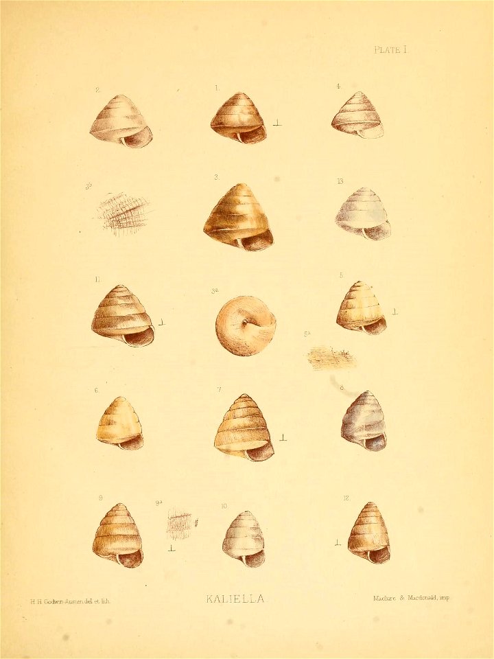
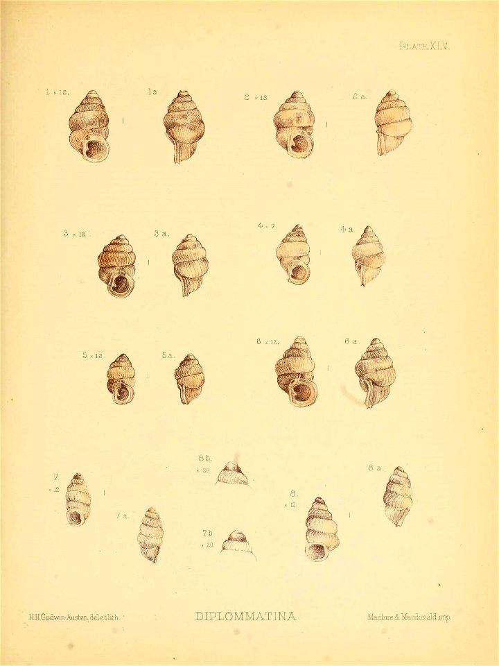
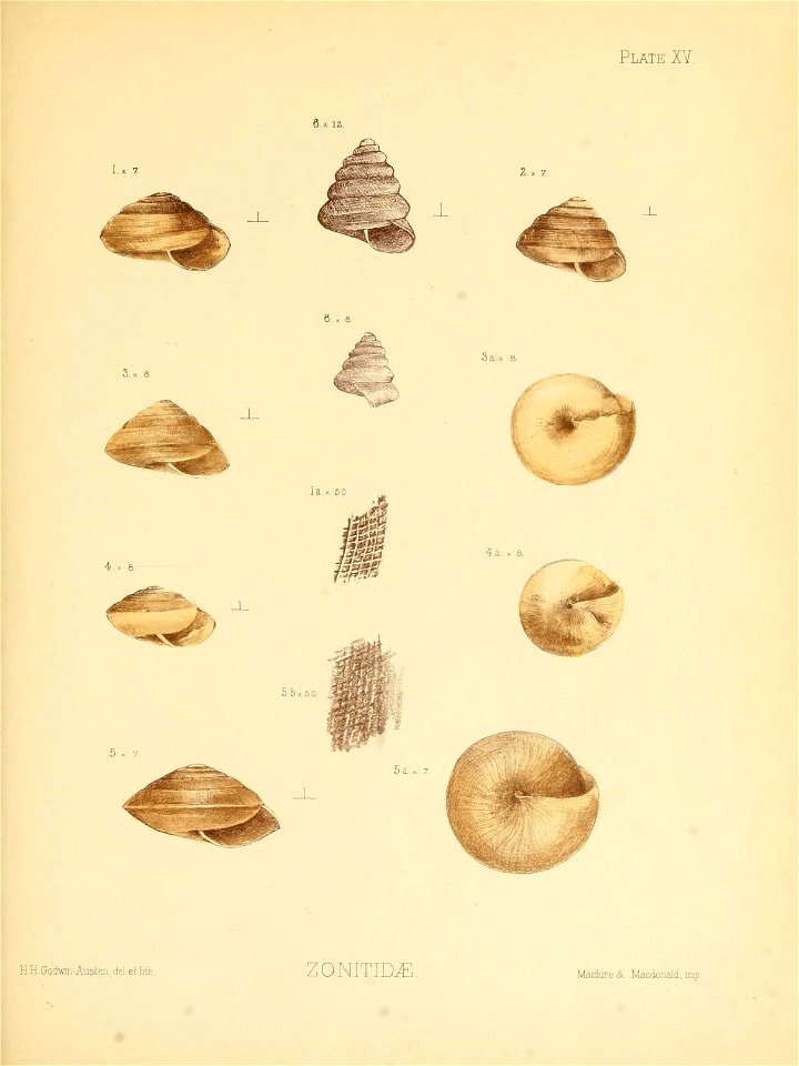
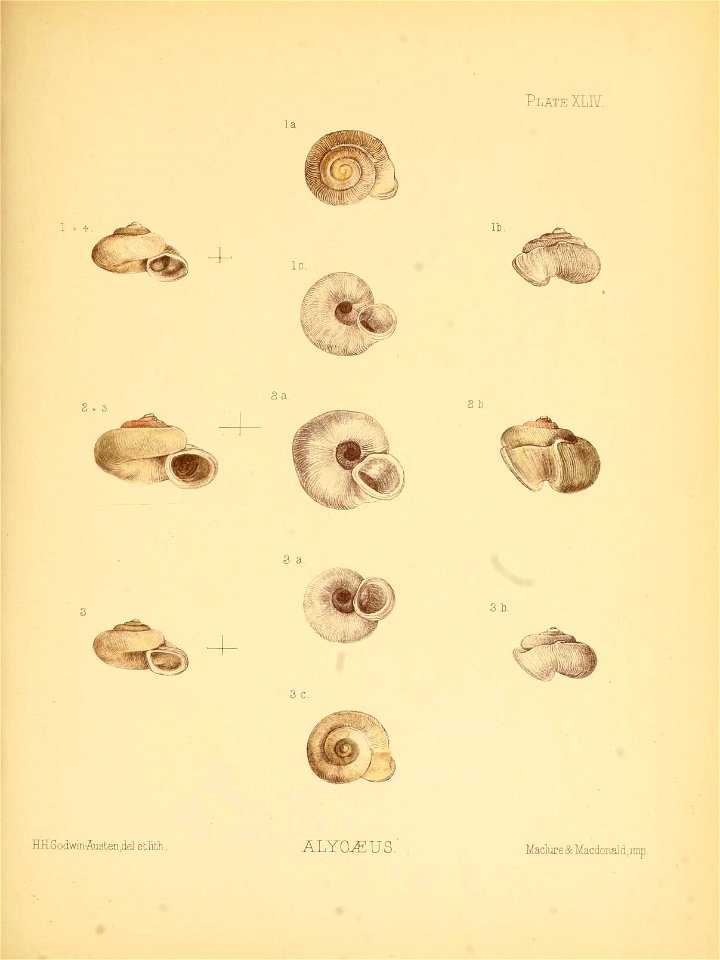
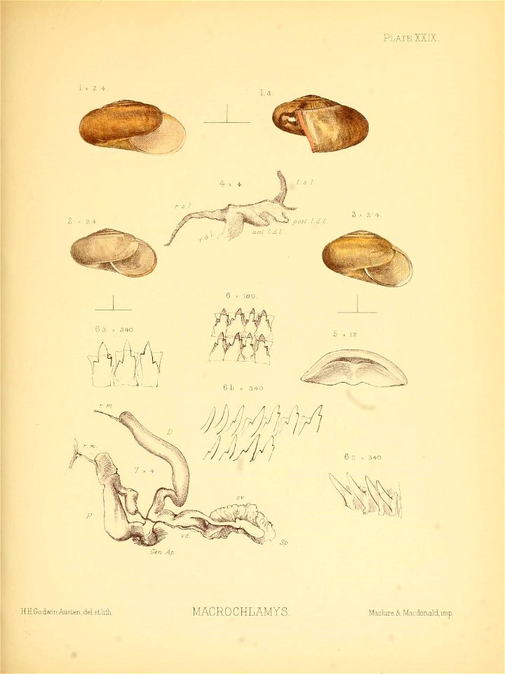
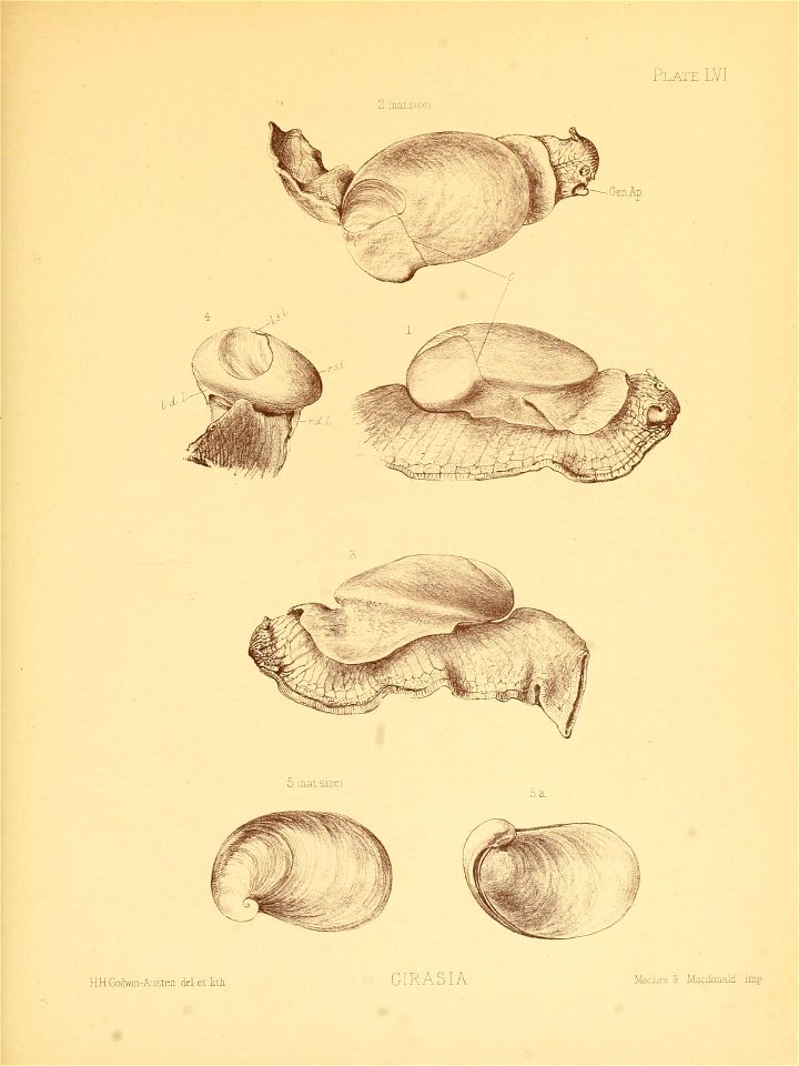
land and freshwater mollusca of india, including south arabia, baluchistan, afghanistan, kashmir v.1 (1889) [plates]
digital south asia library
hendrik van langren map of south asia
kolkata
details of old maps
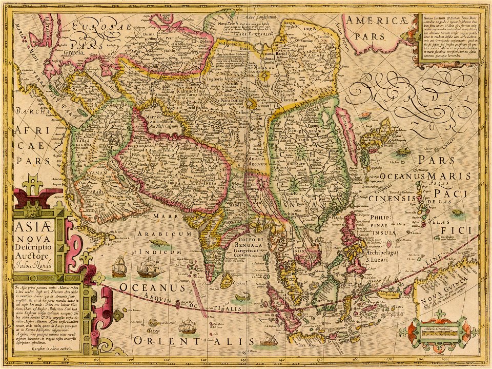
asiae nova descriptio, by pieter van der keere
british library asia, pacific and africa collections
picturesque scenery in the kingdom of mysore
old maps of southeast asia
description de l'universe
old maps of southeast asia
description de l'universe
old maps of southeast asia
description de l'universe
description de l'universe
south asia
azad kashmir
sultan
old maps of south asia
1900s maps of india
maps by martin waldseemüller
1513 maps
asia and africa
vienna in art
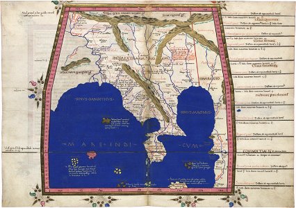
cosmographia claudii ptolomaei alexandrini
latin-language maps
greece
italy
greece
italy
travels in various countries of europe
asia and africa
17th-century maps of indonesia
1621
travels in various countries of europe
asia and africa
17th-century maps of china
cathay
david rumsey historical map collection
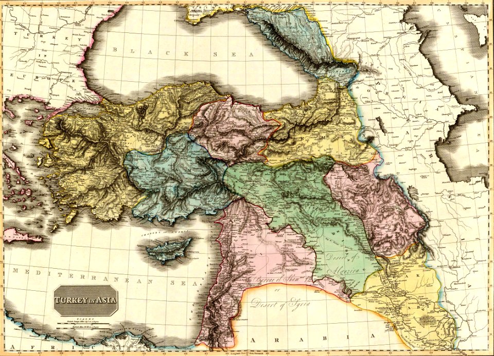
old maps of the middle east
david rumsey historical map collection
old maps of the middle east
david rumsey historical map collection
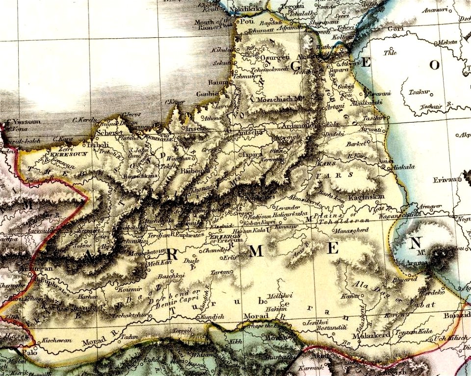
maps of the south caucasus
19th-century maps of the malay archipelago
19th-century maps of southeast asia
buddhism
ancient
illustrations by m. v. dhurandhar
saris in art
navigantium atque itinerantium bibliotheca
18th-century maps of south asia
van langren map of southeast asia
1619 maps of asia
old constellation maps
maps by samuel dunn
old maps of the south china sea
1680 maps of asia
maps by john cary
1806 maps of asia
asiae nova descriptio, by pieter van der keere
17th-century maps of southeast asia
old images of the howrah bridge
1944 in kolkata
maps by girolamo porro
leonardo cernoti
maps by jacques-nicolas bellin
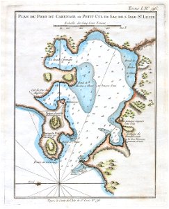
old maps of saint lucia
old images of kolkata
nakhoda masjid
1944 in kolkata
nakhoda masjid
kolkata riverfront
1945 in kolkata
howrah bridge
kolkata
digital south asia library
nakhoda masjid
trams in kolkata
1945 in kolkata
old images of the howrah bridge
1945 in kolkata
geoemydidae illustrations
batagur baska
old images of the howrah bridge
1944 in kolkata
old images of the howrah bridge
1944 in kolkata
hendrik van langren map of south asia
16th-century maps of the near east
maps by willem and johannes blaeu
laurens reael
views from the howrah bridge
1945 in kolkata
hendrik van langren map of south asia
1596 maps of asia
old images of the howrah bridge
1945 in kolkata
maps of south asia by mercator-hondius
asiae nova descriptio, by pieter van der keere
asiae nova descriptio, by pieter van der keere
asiae nova descriptio, by pieter van der keere
17th-century maps of southeast asia
old images of the howrah bridge
buses in howrah
asiae nova descriptio, by pieter van der keere
asiae nova descriptio, by pieter van der keere
hendrik van langren map of south asia
1590s maps of armenia
asiae nova descriptio, by pieter van der keere
old images of goa
hendrik van langren map of south asia
1590s maps of cyprus
asiae nova descriptio, by pieter van der keere
maps of kozhikode by braun & hogenberg
hendrik van langren map of south asia
renaissance
hendrik van langren map of south asia
1596 maps of asia
maps by john cary
1806 maps of asia
hendrik van langren map of south asia
1590s maps of the levant
hendrik van langren map of south asia
renaissance
hendrik van langren map of south asia
1590s maps of india
british library asia, pacific and africa collections
picturesque scenery in the kingdom of mysore
hendrik van langren map of south asia
1590s maps of iran
the geographical distribution of the family charadriidae (1888)
rhinoptilus bitorquatus (illustrations)
hendrik van langren map of south asia
1600 maps of asia
1596 engravings
renaissance
maps by willem and johannes blaeu
1638 maps of asia
tresor des cartes geographiques (1659)
1650s maps of india
hendrik van langren map of south asia
1596 maps of asia
maps showing 19th-century history
19th-century maps of south asia
17th-century maps of south asia
maps by alexis-hubert jaillot
details of old maps of india
atlas minor
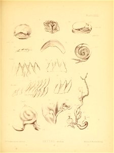
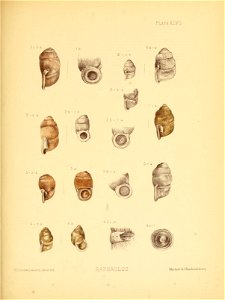
india
shell
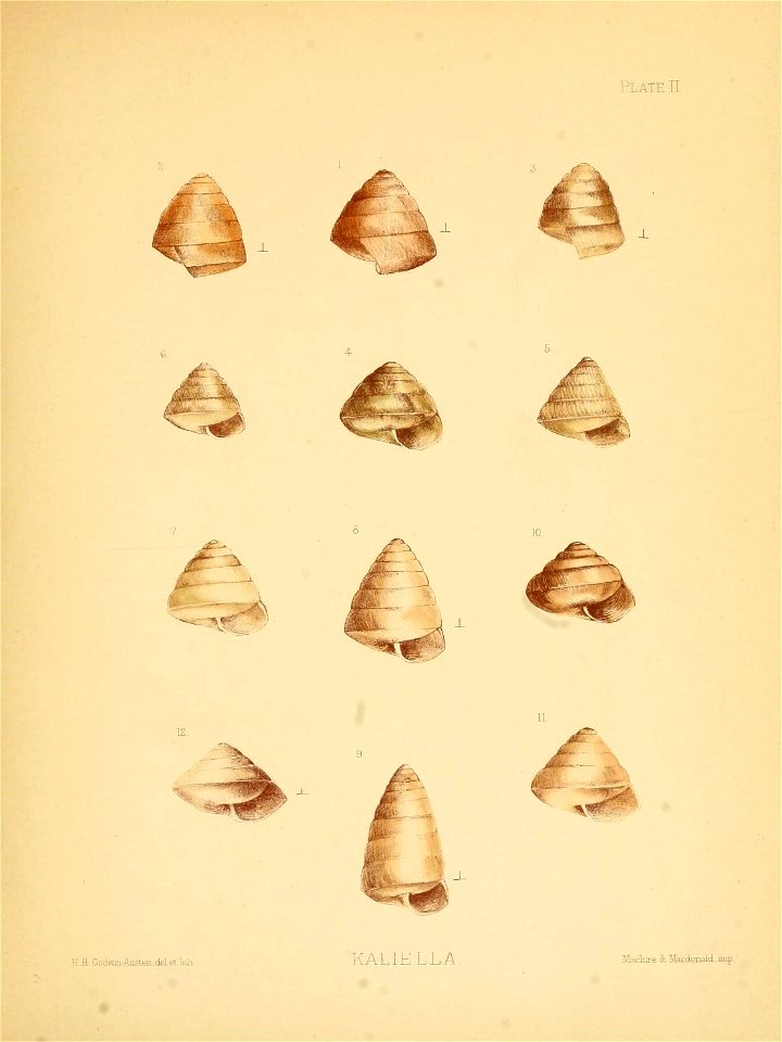
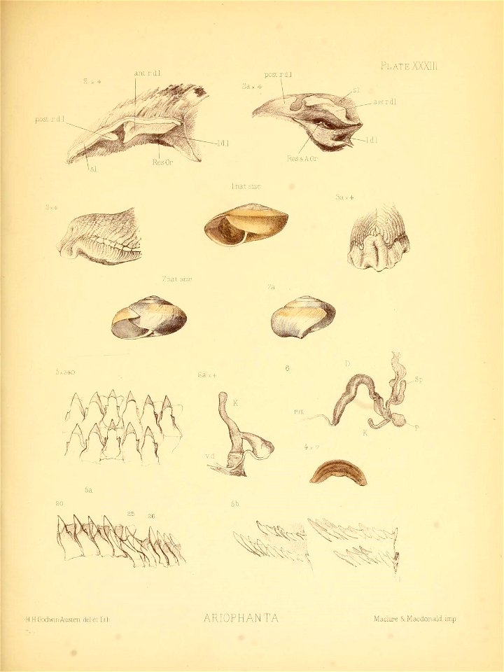
india
shell
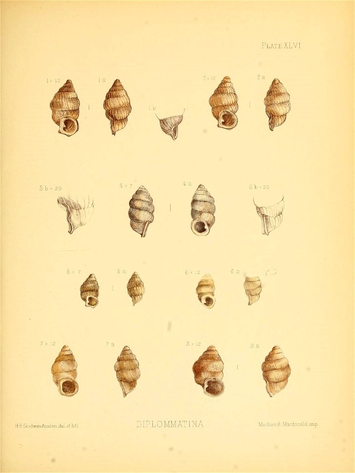
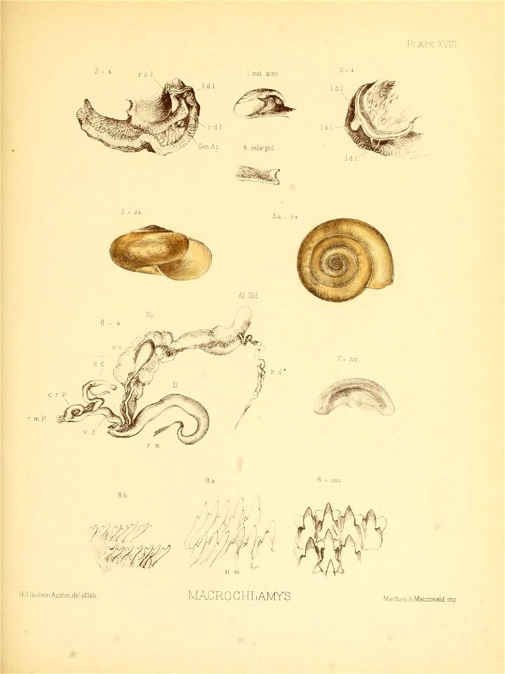
india
shell
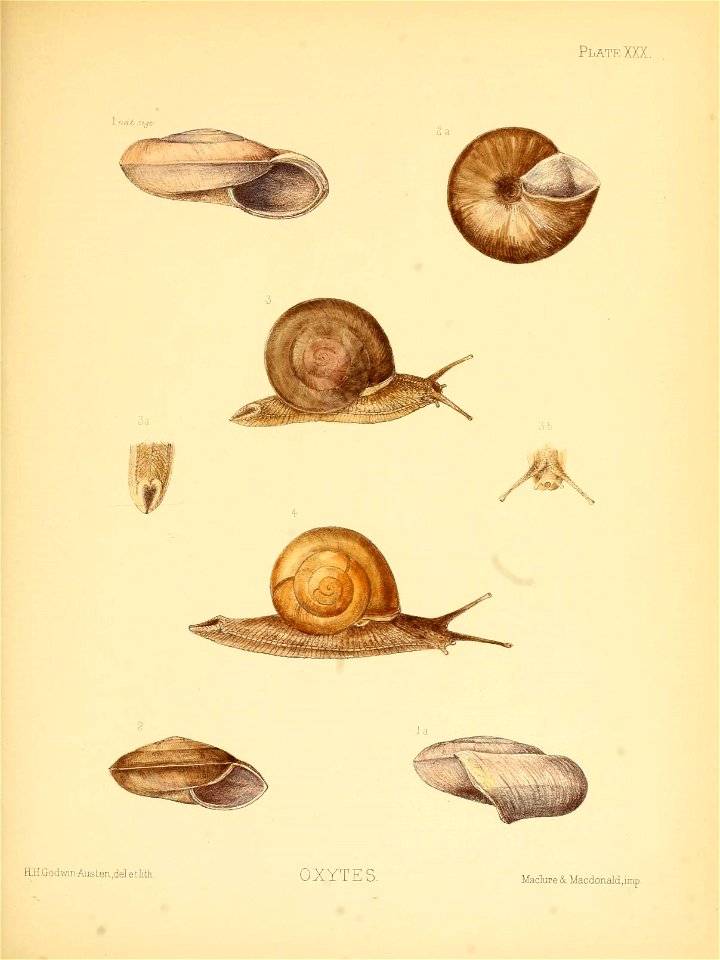
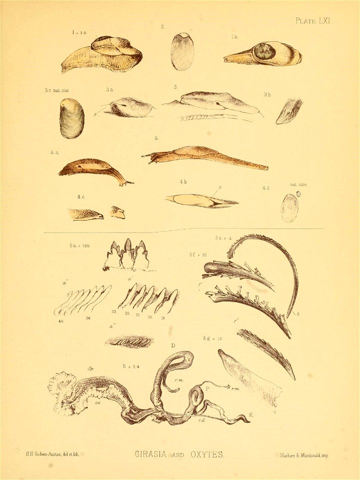
india
shell
india
shell
india
shell
india
shell
india
shell
india
shell
india
shell
india
shell
india
shell
india
shell
india
shell
17th-century maps of southeast asia
description de l'universe
india
shell
india
shell
india
shell
india
shell
india
shell
india
shell
india
shell
india
shell
india
shell
india
shell
india
shell
1 - 100 of 431
Next page
/ 5


![Treasure of geographical maps of the main states of the universe [...], 1659](https://cdn.creazilla.com/illustrations/10000992784/treasure-of-geographical-maps-of-the-main-states-of-the-universe-1659-md.jpg)